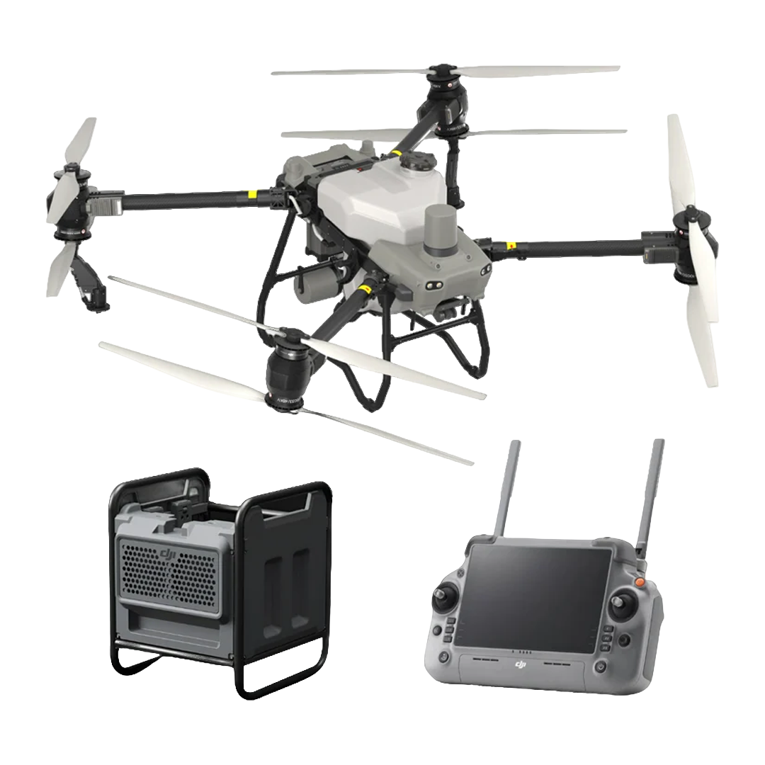
The DJI D-RTK 3 Multifunctional Station is an enterprise positioning system designed to support RTK corrections, relay communications, and rover-based surveying across DJI professional fleets. It combines multi-constellation GNSS tracking with O4 Enterprise relay capability and Bluetooth 5.1 rover connectivity, enabling flexible deployment based on operational needs. DJI publishes defined accuracy specifications for each operating mode, supporting predictable positioning performance. With IP67 protection, internal battery power, and documented environmental limits, D-RTK 3 is built for repeatable deployment in professional field environments.
Core features at a glance
Multi-constellation GNSS support across global satellite systems
Base station mode delivers RTK corrections to supported DJI aircraft
Rover station mode enables Bluetooth-based survey workflows
Fixed RTK survey accuracy specified at sub-centimeter levels
Tilt survey functionality supports angled point measurements
RTCM protocol support ensures broad receiver compatibility
O4 Enterprise relay enhances link reliability in obstructed terrain
Predictable accuracy performance for professional workflows
D-RTK 3 provides clearly defined performance specifications across its supported modes, allowing teams to plan missions with confidence. DJI specifies single point accuracy at 1.5 m horizontal and 3.0 m vertical RMS when uncalibrated. Network RTK calibration improves this to centimeter-level performance. In rover mode, fixed RTK surveying reaches 0.8 cm horizontal plus 1 ppm and 1.5 cm vertical plus 1 ppm. DJI also publishes tilt survey behavior and reliability figures to support real-world survey planning.
Relay station deployment and O4 Enterprise range behavior
Relay station mode allows D-RTK 3 to improve communication performance where terrain, structures, or vegetation obstruct direct links. DJI publishes expected range behavior under unobstructed, obstructed, and interference-prone conditions, helping operators plan realistic relay placements. When installed in elevated, interference-free locations, relay deployment can significantly extend effective communication distance. This capability is particularly relevant for infrastructure inspection, corridor mapping, and dock-supported operations.
Supported aircraft and devices by operating mode
Key Compatible Drones (Base Station Mode)
DJI Matrice 4 Series (Including M4E, M4T, M4D, M4TD)
DJI Matrice 400 RTK
DJI Matrice 350 RTK
DJI Matrice 300 RTK
DJI Matrice 30 Series (M30/M30T)
DJI Matrice 3D/3TD
DJI Mavic 3 Enterprise Series (M3E, M3T, M3M)
DJI Inspire 3 (Professional Filmmaking)
DJI FlyCart 30
Compatible Agricultural Drones
DJI Agras T60
DJI Agras T50 / T25
DJI Agras T40 / T20P
Relay Station Mode: Specifically supports the Matrice 4E, Matrice 4T, and FlyCart 100 to extend range.
Professional applications and operational scenarios
Enterprise RTK corrections: Standardize positioning across supported DJI aircraft fleets.
Relay link extension: Restore communication reliability in obstructed operational environments.
Rover surveying workflows: Capture accurate ground control points using mobile devices.
Network RTK calibration: Establish high-precision coordinates for mapping operations.
Tilt survey measurements: Record survey points at non-vertical orientations.
Infrastructure deployment planning: Improve connectivity for dock and fixed-site operations.
Mixed fleet support: Apply consistent positioning across varied DJI platforms.
Rugged field deployment: Operate reliably in challenging environmental conditions.
Engineered for enterprise reliability and long-term use
The DJI D-RTK 3 Multifunctional Station supports enterprise programs that require dependable positioning and scalable deployment. Multi-constellation GNSS improves availability, while O4 Enterprise relay capability enhances connectivity planning. An IP67-rated enclosure, internal battery operation, and published operating limits support reliable use across varied environments. These characteristics make D-RTK 3 a practical choice for organizations building standardized RTK and relay infrastructure across multiple sites and missions.
The DJI D-RTK 3 Multifunctional Station delivers flexible RTK positioning and relay capability for professional UAV operations.
Order from Dronefly today — the West Coast’s trusted enterprise UAV source for DJI positioning solutions and deployment expertise.
Specifications
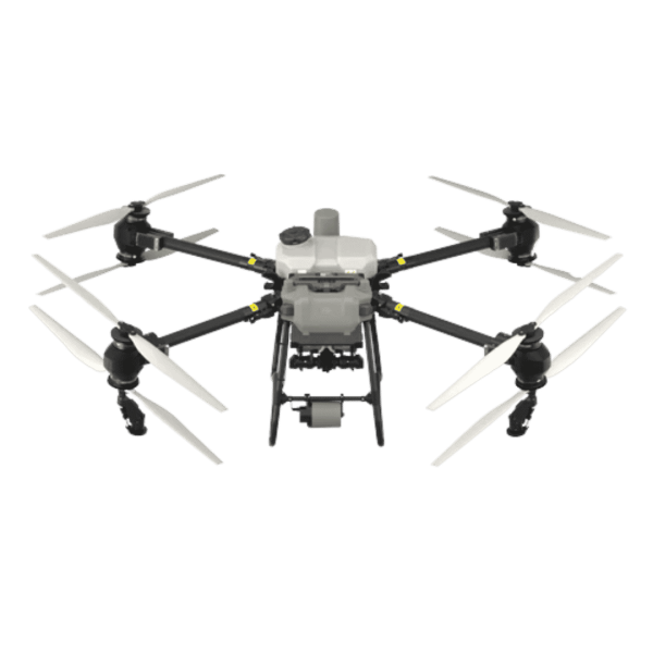
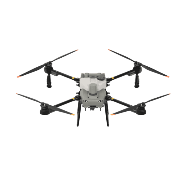
Aircraft
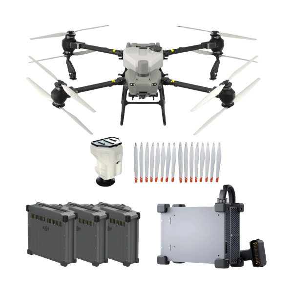
Weight: 39.9 kg (excl. battery), 52 kg (incl. battery)
Max takeoff weight for spraying: 92 kg (sea level)
Max takeoff weight for spreading: 103 kg (sea level)
Max diagonal wheelbase: 2200 mm
Dimensions (arms/props unfolded): 2800×3085×820 mm
Dimensions (arms unfolded, props folded): 1590×1900×820 mm
Dimensions (arms/props folded): 1115×750×900 mm
Hovering accuracy with RTK: ±10 cm horizontal/vertical
Hovering accuracy without RTK: ±60 cm horiz, ±30 cm vert (radar ±10 cm)